- This event has passed.
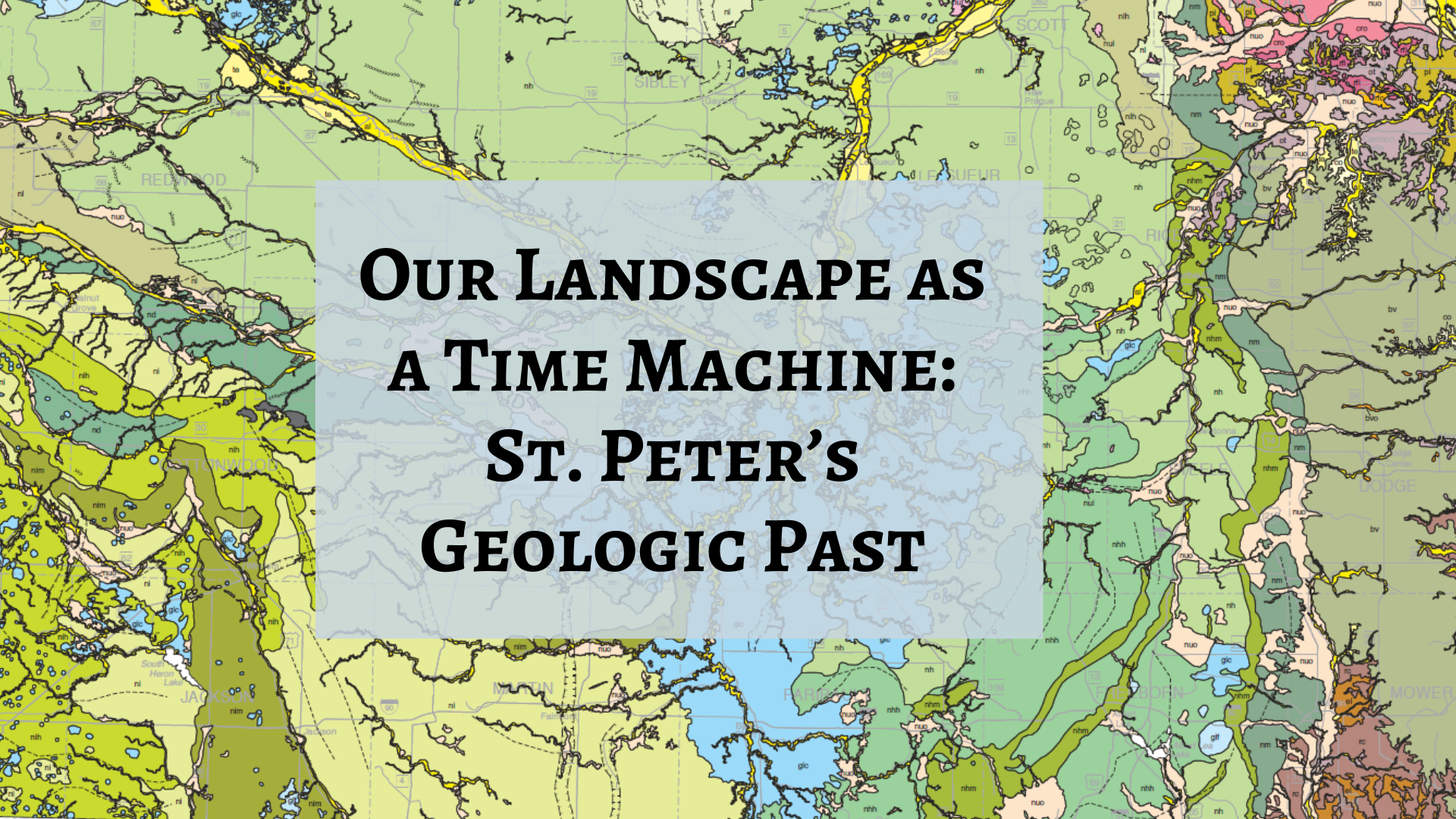
Our Landscape as a Time Machine: St. Peter’s Geologic Past

Most of the time, we walk or drive along our landscape without much thinking about the details. The familiar trees, hills, and rivers look ordinary to us. Perhaps we forget, or have never considered, that this landscape has a story to tell. This very place on Earth (and every other place) has experienced 4.6 billion years of time! To a geologist, the landscape and the material beneath it tell us about the ancient processes that formed it.
Eight thousand years ago, St. Peter was the site of a raging river, draining a giant lake near present-day Moorhead. Fifteen thousand years ago, our town was covered by a mile-thick ice sheet. One hundred million years ago, dinosaurs wandered through unfamiliar forests. And five hundred million years ago, St. Peter was a tropical paradise covered by a warm, clear ocean. How do we know? Each of these time intervals left behind geologic evidence – rocks that formed in the geologic past and that reflect the conditions of the time.
This presentation will introduce participants to St. Peter’s geologic history through the lens of geologic maps. You’ll learn how maps help us reconstruct the past and how they help us locate natural resources. Finally, you’ll learn about some places nearby that reveal the evidence of our geologic past.
About the presenter: Dr. Julie Bartley is a Professor and Co-chair in Environmental Geography and Earth sciences at Gustavus Adolphus College. She teaches Geology, Environmental Studies, and Geography. She holds an A.B. in Chemistry from Bryn Mawr College and an M.S. and Ph.D. in Geology from UCLA.
